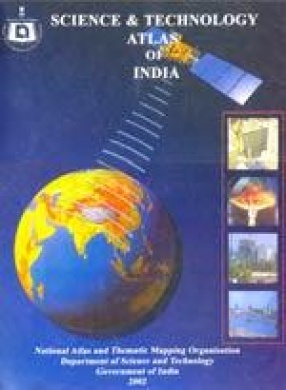
Science and Technology Atlas of India
Synopsis
Within the Scientific community of the country, it has long been felt that India's considerable scientific and technological strengths require to be effectively projected both within the country and abroad. Publication of a Science and Technology Atlas of India is a step in that direction. In this Atlas an attempt has been made to bring out the spatial dimension of science and technology initiatives in the country. For being instrumental in homogenous development, science and technology initiatives need to be spread throughout the country. The regional balance in science and technology initiatives is essential for overall economic progress of the country.The spatial aspect of science and technology activities has been rather neglected, which has led to regional imbalances. In this Atlas the existing spatial pattern of science and technology development in the country has been depicted, thereby highlighting region, states and cities which require special attention in terms of science and technology investments. Theavailable infrastructure, achievements, economic condition and status of science and technology have been incorporated in the Atlas providing a comprehensive picture. While on one hand this Atlas adequately displays the spread of scientific temper and technological development in the country, on the other hand it helps in identifying the spatial gaps thereby making the task of policy makers simpler.Thus, the Atlas demonstrates: a) the science and technology capabilities of the country in the light of economic liberalization policy of the government.b) the scientific and technological attainments of the country in terms of infrastructure, trained man power and production, and c) some basic features of the country which not only highlights the geographical conditions of the country but also the economic and resource potentials, such as population distribution, industries, R & D institutions, foreign collaborations and investments and the like.This great reference work has 41 coloured maps covering various scientific, technological & economic aspects of India, brought out for the first time as a unique whole, by the pioneering national body, the National Atlas & Thematic Mapping Organization, Kolkata. To make each map more conducive, sizable write-ups, charts, illustrations, informative insets, interestingpictures and self-explanatory tables -- based on census and extra-census information -- accompany it. The entire book has been appealingly produced on art paper.
Read more
50.40
45.36
$
56.00 $
Free delivery Wolrdwidе in 10-18 days
Ships in 2-4 days from New Delhi
Membership for 1 Year $35.00
Get it now and save 10%
Get it now and save 10%
BECOME A MEMBER
Books by the same author



Bibliographic information