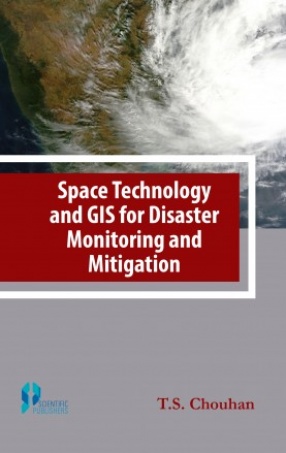
Space Technology and GIS for Disaster Monitoring and Mitigation
Space technologies can play important roles in the reduction of disasters. The use of such technologies can be particularly useful in the risk assessment, mitigation and preparedness phases of disaster management. Space technologies are also vital to the early warning and management of the effects of the disaster. It plays a great role in disaster management in such areas as flooding, cyclones, drought, desertification, earthquake and tsunami. Space technology is largely adopted due to its cost effectiveness, short temporal orbiting and large area of coverage. Space technologies have been used in disaster management especially during the preparedness/warning and response/monitoring stages.
One of the main advantages of the use of the powerful combination techniques of a GIS, is the evaluation of several hazard and risk scenarios that can be used in the decision - making about the future development of an area, and the optimum way to protect it from natural disasters.
Get it now and save 10%
BECOME A MEMBER



Bibliographic information