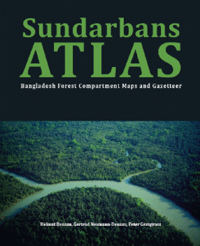
Sundarbans Atlas: Bangladesh Forest Compartment Maps and Gazetteer
The atlas is intended for conservationists, scientists, journalists, forest and law enforcing authorities, NGOs, legal resource users, boatmen, tourist companies, guides and visitors. They are provided with names and locations of creeks, rivers, islands, landmarks, and stations for all 55 Forest Compartments in Bangladesh, compiled from historical and more recent maps. This facilitates communication and orientation in the vast mangrove forest. Most of the names were collected in British time from local sources and got then transcribed into English. Here, the names are given in two languages, in English as well as re-transcribed into Bengali, along with local deviations. The Sundarbans Atlas contains also an index gazetteer for tracing the origin of each name and for finding the places in the compartment maps. The lines shown in the maps are minutely scanned contours derived from satellite images.
Enabling various people and communities in the Sundarbans, outsiders and insiders, to communicate more easily with each other, the authors and publisher hope to build a bridge over troubled waters and social barriers. The Sundarbans needs close corporation of all concerned groups to meet the challenges of the future.
A folded outline map of the entire Sundarbans (India and Bangladesh) is found in the pocket at the end of the book and should help to imagine the total extent of this huge transboundary forest to the west beyond the national border.
Get it now and save 10%
BECOME A MEMBER



Bibliographic information
Gertrud Neumann-Denzau
Peter Gerngross