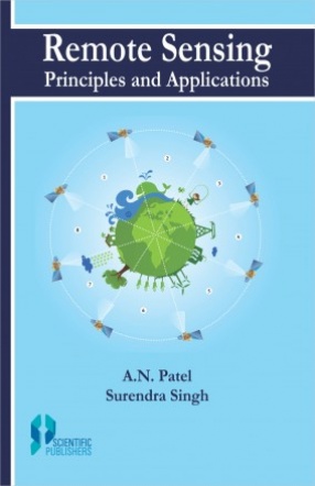
Remote Sensing: Principles and Applications
In India, like the other countries of the world, air-borne and space-borne remote sensing techniques is being used in the research, planning and development. It has also been introduced in various Indian colleges and universities as a optional subject for teaching the graduate and post-graduate students. In order to make the proper use of remote sensing, the knowledge of its basic principles and applications is of paramount importance. But in India very few books are available on these aspects, particularly on space-borne remote sensing. The authors in this book, therefore, have tried to discuss the basic principles and applications of remote sensing illustrated by maps, diagrams, photographs and tables.
The first part of this book deals with the basic principles of remote sensing such as definition and types of remote sensing, electromagnetic radiation and its interaction with matter, types of sensors and platforms, data products and visual and digital analysis and interpretation techniques. In the second part, the applications of remote sensing in the appraisal and management of natural resources, temporal change detection in various terrain features and environmental problems and wastelands distribution, morphology and management of sand dunes impact of present and palaeo drainage systems on geo-environment and monitoring and combating of desertification mapping with specific examples of the work done in India have been discussed. The advantages of the remote sensing techniques over the conventional methods to conduct the studies in the above applied fields have also been highlighted.
It is earnestly hoped that this book will be of immense use to the resource specialists, environmentalists, engineers, academicians, research scholars and landuse planners and policy makers. This will also be a valuable text book for teaching the basic principles and applications of remote sensing to the students of engineering and physical, biological and social sciences.
Contents: Preface. 1. Introduction. 2. Signatures in remote sensing. 3. Electromagnetic radiation. 4. Interaction of electromagnetic radiation with matter. 5. Sensors used in remote sensing. 6. Remote sensing platforms. 7. Data products. 8. Analysis and interpretation techniques. 9. Application of remote sensing in the appraisal and management of natural resources. 10. Role of remote sensing in the detection of temporal changes. 11. Application of remote sensing in wastelands mapping. 12. Distribution and management of sand dunes using remote sensing techniques. 13. Impact of present and palaeo drainage systems on geoenvironment using remote sensing techniques. 14. Remote sensing in monitoring and combating desertification. References.
Get it now and save 10%
BECOME A MEMBER





Bibliographic information
Surendra Singh