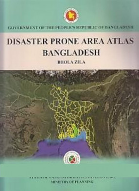
Disaster Prone Area Atlas of Bangladesh: Bhola Zila
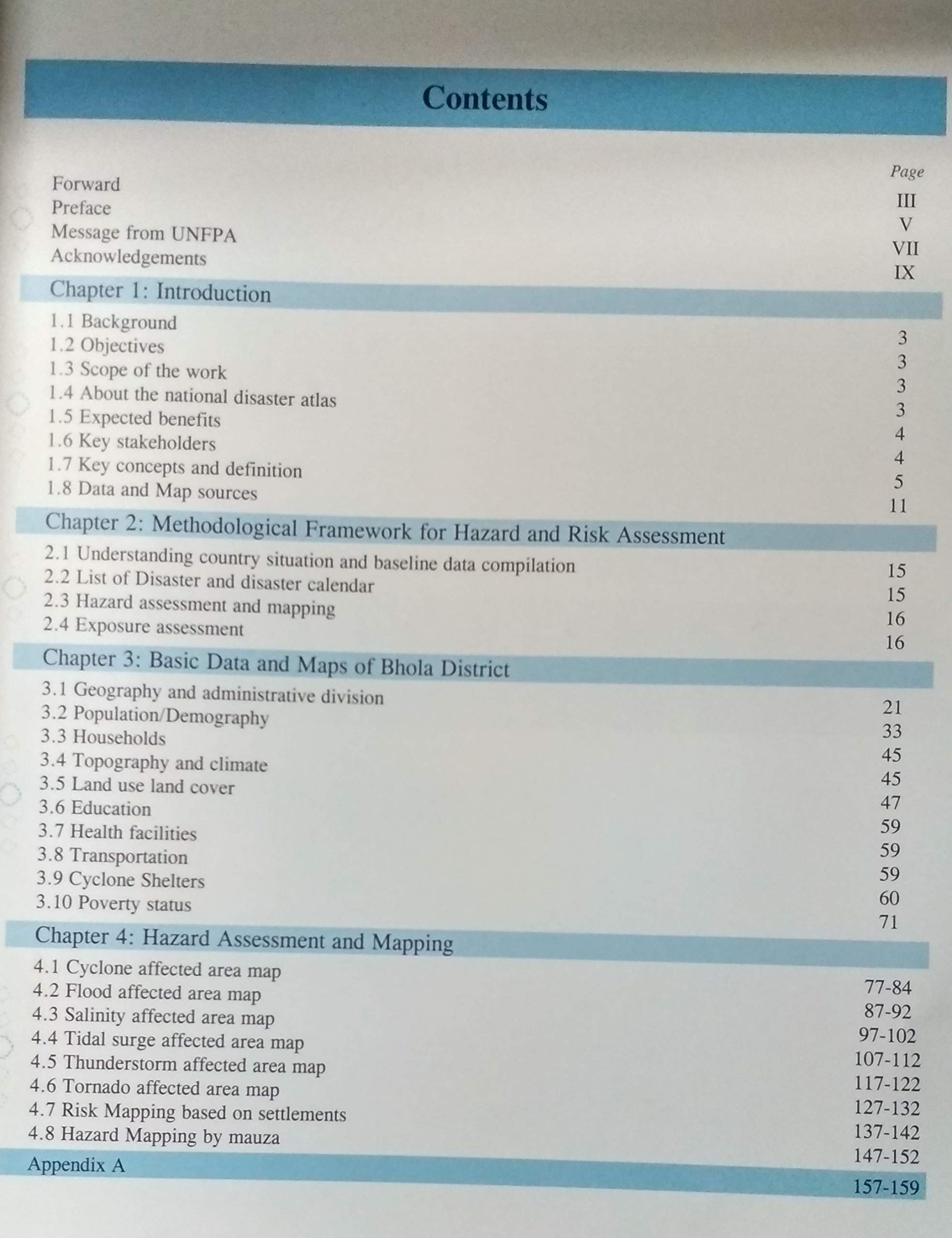
Bangladesh Bureau of statistics (BBS) already has been entered into a new era through the enactment of the Statistical Act 2013. As per this Act BBS is mandated as the standalone agency for generating official statistics. The law has empowered BBS to provide guidance to other agencies for producing official statistics and also to authenticate statistics generated by them. According to Statistical Act 2013, BBS has prepared the National Strategy for Development of Statistics (NSDS) aimed at capacity building of the nationwide use of statistics as well as Environment, Climate Change and Disaster related quality statistics. Following that mandate, previously BBS published small area atlas for 64 districts and now, BBS is going to prepare the disaster prone area atlas for 17 coastal districts of the country for the first time. The disaster prone area atlas of Bangladesh is a tool to enhance decision-making to reduce the economic and social impacts of natural hazards in the country. It is intended to provide a wide range administrators policy makers with appropriate risk information in order to strengthen the capacity of the country to develop strategic risk reduction & management strategies. It provides an excellent tool in identifying, showcasing and disseminating important information needed to make timely and sound technical decisions to enhance the development process. The atlas serves as a catalyst for the holistic approach of building resilient communities. The disaster prone area atlas of Bhola District is one of the outcome our disaster prone area mapping exercise.
Get it now and save 10%
BECOME A MEMBER



Bibliographic information
Tags