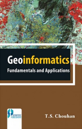
Geoinformatics Fundamentals and Application
Geoinformatics is a new discipline integrating element for various disciplines dealing with geographic data. It deals with management, analysis and presentation of geographic and other spatially defined data. It includes Surveying, Remote Sensing (RS), Geographical Information System (GIS), Global Positioning System (GPS), Photogrammetry, Cartography, Geography, Computer Science and Statistics. It has emerged as a credible tool in mapping, modeling, monitoring and managing natural resources, environment and natural disasters, which are vital components in sustainable development planning. Geoinformatics is a powerful tool to create maps, integrate information, visualise scenarios, solove complicated problems, present ideas and develop effective solution.Geoinformatics is the integration of different disciplines dealing with spatial information. The advent of Satellite Remote Sensing (SRE) and subsequent development of Global Positioning System (GPS) and Geographical Information System (GIS) have made significant changes in surveying and map making. In light of this, both in the academia and the industry, these topics have been brought together under one umbrella termGeoinformatics. This book will be invaluable for students pursuing various courses on Geoinformatics, environment studies, Agricltural sciences, geology, and geography and will prove useful and handy for professionals pursuing GPS and GIS. The entire book has been divided into 21 chapters.
Get it now and save 10%
BECOME A MEMBER



Bibliographic information