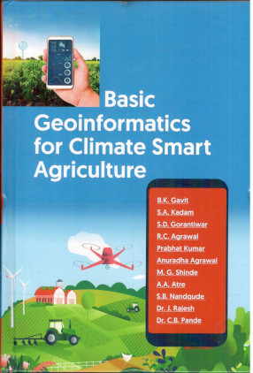
Basic Geoinformatics for Climate Smart Agriculture
Geoinformatics is the integration of different disciplines dealing with spatial information. The advent of Satellite Remote Sensing and subsequent development of Global Positioning System (GPS) and Geographical Information System (GIS) have made significant changes in surveying and map making. In light of this, both in the academia and the industry, these topics have been brought together under one umbrella termGeoinformatics. This is the first comprehensive study on Geoinformatics meant for students and professionals which brings together the essential elements of Remote Sensing, GPS and GIS. A basic understanding of these components is crucial for carrying out various types of surveys, navigation, geodynamics, agriculture, rural and urban planning, environmental monitoring, natural resources management, management of natural hazards and disasters, etc. This book has built around concepts and skills at the basic level to make it easy for a learner who wishes to understand how geoinformatics can be put to practical use.
Get it now and save 10%
BECOME A MEMBER


Bibliographic information
S A Kadam