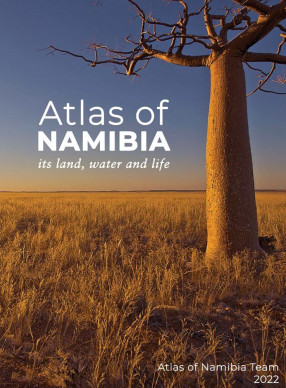
Atlas Of Namibia : Its Land, Water And Life
For obtaining a broad understanding of Namibia, this new Atlas of Namibia is the first choice. It is an outstanding and comprehensive compendium about the country that offers a collection of maps, charts and images that illustrate aspects of aridity to zebras in Zambezi; annual averages and long- and short-term variations; and contrasts and convergences. Fresh and interesting topics are tackled, including our historical heritage and the meaning of place names, indigenous plant producs and wildlife migrations, and our happiness. Critically, attention has also been given to Namibia's marine environment, livelihoods and land, species diversity and habitat loss, resource economics and management human-wildlife conflict, and climate change, and much more.
Expanding on the atlas of Namibia produced in 2002, this atlas has 11 chapters and twice as many pages. Data have been updated and sections on water, soils, vegetation, wildlife and socioeconomics have developed into individual chapters. Each chapter ends with a useful summary of key points, and endnotes lead the reader and researcher to more detailed publications. This has been possible through the contributions of over 40 team members, each a specialist in their field, and through consultation with and the assistance of numerous other experts. Contributions large and small were then crafted together by a handful of compiling authors.
The product is an atlas that reveals how nature and people have adapted to Namibia's contrasting landscapes and its range of climates - from the hyper-arid Namib Desert in the west to semi-arid, broadleaf woodlands and lush riparian vegetation in the northeast. It illustrates that even the Namib is an area of great variety, from its grass- and shrub-dominated southern area to its extensive central Namib Sand Sea and its plains, mountains and dune fields further north, all the dissected by westward-flowing rivers that form linear oases. Surface flows in these and other inland ephemeral rivers contrast markedly with the country's perennial border river
Content: Atlas of Namibia
Foreword
Atlas of Namibia Team
Acknowledgements
Preface
Abbreviations, symbols and units
Metric prefixes
INTRODUCTION
Orientation
International boundaries
Place names
Landscapes
Some essentials
What should, but could not, be mapped
LANDFORMS AND GEOLOGY
Namibia's marine world
Topography
Geology
Minerals
Key points
CLIMATE
Why is Namibia so dry?
Wind
Fog
The infamous Namib Desert
Rainfall patterns
Sunshine hours and radiation
Temperature
Humidity
Evaporation and aridity
Climate change
Key points
WATER
Surface waters
Groundwater, a vital hidden resource
Water access, demand and supply
Key points
SOIL
Soil types
Physical and chemical properties of soil
Macrofungi - unsung heroes of the soil
Namibian soils and agriculture
Pulses of soil nutrients
Key points
VEGETATION
Types of vegetation
Plant richness, endemism and floristic groups
Plant productivity
Woody plant cover and bush encroachment
Bushfires
Invasive alien plants
Namibia's green gold
Key points
WILDLIFE
Marine life
Terrestrial wildlife
The bigger picture
Key points
The use of land
Land rights and management
Key points
NAMIBIA'S PEOPLE
Shards of history illustrated
People on the move
The demography of Namibians
Household conditions
Health
Education
Key points
LIVELIHOODS
Two economies
Household economies
Employment
Namibia's informal economy
Human wellbeing and happiness
Natural capital and services
Energy
Transport
Key points
NAMIBIA IN DETAIL
Orientation maps
Gazetteer
Glossary
Notes and references
Image credits
Index
Get it now and save 10%
BECOME A MEMBER





Bibliographic information
Tony Robertson
Jarvis Alice
Ors.