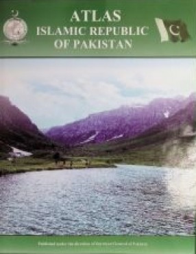
Atlas Of Islamic Republic Of Pakistan
An Atlas of a country, region or area highlights its importance by depicting political boundaries and prevailing situations of natural, cultural, historical, socio-economic factors and features within those boundaries. Present global scenario and modern technological advancement has put the fundamental concept of GIS and geo-spatial data vital to human development. Atlas is indeed an ideal compendium of visualized geo-spatial data and maps to show various geographical features of natural and cultural advancements.
The Fifth Edition 2023 of Atlas of Islamic Republic of Pakistan is specifically developed with modern technological approaches and concepts. The Atlas of Islamic Republic of Pakistan is an effort by the National Surveying and Mapping Organization, Survey of Pakistan. The Atlas comprises of seven sections. Section-1 closely illustrates the physical and political environment of the country. Section-II includes regional maps on scale 1:1.5M. Section-III includes thematic set up while section-IV includes tourist guide maps of important cities. Section-V has some details about the emerging projects of CPEC. Section-VI & VII includes world continental and thematic maps respectively. Although, this Atlas provides enough maps and details about Pakistan but still have room to incorporate more information. Maps are coupled with comprehensive and to the point narrated details, illustrations and pictures (where necessary). Previous edition of this Atlas was highly appreciated by planners, experts, researchers, students, cartographers and geographers from all the corners of the country, as well as abroad. This challenging task would not have been accomplished without the dedicated efforts of our committed staff.
Get it now and save 10%
BECOME A MEMBER


Bibliographic information