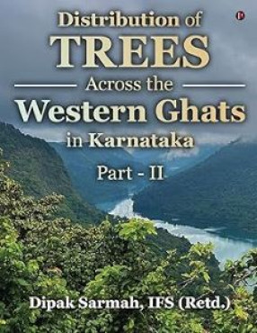
Distribution of Trees Across the Western Ghats in Karnataka, Part II
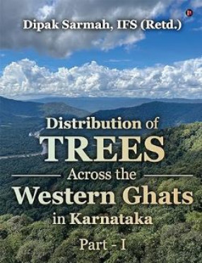
The book, ‘Distribution of trees across the Western Ghats in Karnataka (Part-II)’, is the second part of a two-volume book aimed at providing an analytical overview of how trees and other plants are distributed across various forests of the Western Ghats region in the state of Karnataka in India. The analysis is based on feedback provided by field functionaries of the Karnataka Forest Department (KFD) in pursuance of a project initiated by KFD in collaboration with the Karnataka State Remote Sensing Applications Centre (KSRSAC), Bengaluru, to study various aspects of the state’s forests. Given the enormity of the data regarding trees and other plants adorning the forests in the Western Ghats region of the state, the analysis in the first part (Part-I) of the book was limited to the western half of the region comprising the five districts of Belagavi, Uttara Kannada, Udupi, Dakshina Kannada and Kodagu. The present book covers the eastern half comprising the districts of Shivamogga, Chikkamagaluru, Hassan, Mysuru and Chamarajanagar, along with some peripheral areas of Kodagu, Dharwad, Haveri and Davanagere districts. Range-wise segregation of the data has thrown light on various attributes such as forest types, tree distribution, tree association, tree dominance, tree preponderance, etc. in each forest range. Comparative analysis of such information for a cluster of ranges enables understanding of how these attributes change across a larger landscape such as a forest division or a forest circle. Analysis of the data has also provided information about the extent of fragmentation of natural forests due to plantations. Such information can be quite useful in rehabilitating monoculture patches back to natural forest.
Get it now and save 10%
BECOME A MEMBER







Bibliographic information