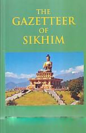
The Gazetteer of Sikhim
On the northern border of the British district of Darjeeling, the main chain of the Himalayas throws out to the southward two enormous spurs the Singilela and Chola ranges. These almost impassable barriers enclose three sides of a gigantic amphitheatre, hewn, as it were, out of the Himalaya, and sloping down on its southern or open side towards the plains of India. The tracts of mountainous country thus shut in consist of a tangled series of interlacing ridges, rising range above range to the foot of the wall of high peaks and passes which markets the “abode of snow and its offshoots. The steps of this amphitheatre make up the territory known as Independent Sikhim (Sukhim or ˜new house; the encircling wall of peaks and passes forms on the north and east the frontier of Tibet, while on the west and south-east it divides Sikhim and Darjeeling from Nepal, and the Dichu forms the boundary between Sikhim and Bhutan. Pursuing our simile a little further, we may add that the lower levels of the Sikhim amphitheatre, the valleys of the Tista and Balasan and Mahanadi rivers, are similar in character to, sand virtually form part of, our frontier district of Darjeeling. The northern hills, on the other hand, whence the snow-fed torrents of the Lachen and Lachung struggle down through precipitous valleys to unite in the broader but hardly less turbulent Tista, are moulded on a grander and more markedly Himalayan scale. Geographically speaking, these heights are of closer kin to the snow-clad giants which dominate them than to the lower elevations and tamer scenery of Sikhim Proper.
Get it now and save 10%
BECOME A MEMBER


Bibliographic information
H.H. Risley