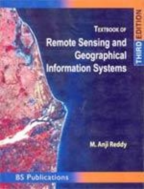
Textbook of Remote Sensing and Geographical Information Systems
Synopsis
Remote Sensing and Geographical information Systems (GIS) deals with mapping technology, concepts of maps and all relevant terminology which are necessary for a beginner to develop his skills in the new and upcoming technology. This book provides basic principles and techniques of remote sensing, microwave remote sensing platforms and sensors and data analysis techniques. Further, the book deals with GIS data quality issues, GIS data analysis & Modelling, attribute data management, GIS data input & editing and integration & linkage of remote sensing and GIS. This third edition is thoroughly revised: few topics are incorporated in the 5th chapter along with the addition of one new chapter namely “Creation of Information System: A case Studyâ€. Keeping the importance of the visual interpretation of high resolution satellite images a detailed procedure for photo interpretation, 3-D interpretation method, application of aerial photo interpretation and key elements of visual image interpretation techniques are discussed in detail. The author of this book has developed a methodology are discussed in detail. The author of this book has developed a methodology to create a Digital Information System based on GIS concept using Remote Sensing data, topographical data, field data and other collateral data products.
Read more
18.00
16.2
$
20.00 $
Free delivery Wolrdwidе in 10-18 days
Ships in 2-4 days from New Delhi
Membership for 1 Year $35.00
Get it now and save 10%
Get it now and save 10%
BECOME A MEMBER



Bibliographic information