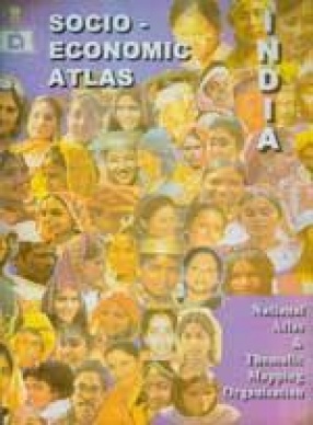
Socio-Economic Atlas of India
Here is the Socio-Economic Atlas that offers a useful and informative introduction to the world of maps on economic and social aspects of India. It is based on census and extra-census information, which is compiled by different appropriate methods. This atlas is also enriched by sizeable write-up on each map. This volume consists of twenty-seven maps covering physical, social and economic aspects of the country. Starting with the administrative map with the district boundaries and their names, several maps have been prepared to cover the socio-economic features of the country. India's vast population also has been analysed by preparing ten maps specifically on related themes. As the development of education indicates the socio-economic condition of the population, two maps have been included. Impact of transport system and tourism on socio-economic transformation of the country has been considered as well. Lastly, a map on socio-economic composition is a newer idea that enriches the atlas. The unit of the analysis has been district excepting where the information is of different nature, like physiography. Most of the maps are supplemented by informative insets. It is a practical reference book. Which is both easy to use, and an essential item to browse through. It will be an invaluable addition fro library or any institution or even for an individual.
Get it now and save 10%
BECOME A MEMBER


Bibliographic information