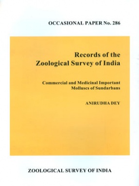
Commercial and Medicinal Important Molluscs of Sundarbans
Sundarbans the well developed group of islands formed from sediments washed down from Himalayas, starting from the mouth of river Highly on west to the river Meghna in the east, covering the four districts namely North and South 24-Paragonas (Hughly to Raimangal districts) of India and Khulna and Barishal districts of Bangladesh. The Bay of Bengal is the southern limits towards north the boundary can not be demarcated at any definite land mark. The Indian Sundarbans lies 88o03'-89o07' E latitude and 21o13' to 22o40' N latitude located on the southern fringe of the state West Bengal covering the major portion of North and South 24-Pargonas districts. The area bordered by Bangladesh in the east, the river Hughly in the west, Damper-Hodges line in the north and Bay of Bengal in South. It has a considerable marine characteristics and the important morph type of the deltaic area are beaches, mud flats, coastal dunes, sand flats, estuaries, creeks, inlet and mangrove swamps. It also offer the freshwater ecosystems, like ponds, ditches, canals, paddy fields offers a variable ecosystems for harbouring of mollusks. The mangrove attend their greatest diversity and luxuriance in the Sundarbans and covers 423, 803 hecters along the estuaries and coastlines both South and North 24 Parganas district of West Bengal. In this ecosystem the diversified habits like the tree, soil and water are occupied by different groups of organisms exposed to the different set of environmental conditions.
Get it now and save 10%
BECOME A MEMBER



Bibliographic information