Geographical Information Systems
Synopsis
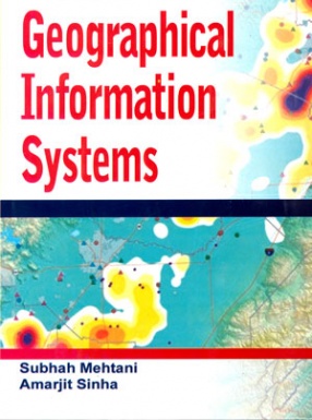
A geographical information system (GIS) is a computer system that is capable of integrating, storing, editing, analyzing, sharing and displaying geographically referenced information. It can also be described as a tool that allows users to create geographically interactive queries, presents the results of all these operation.
This book in the series on geography has been designed to serve as an introductory manual on the field of GIS. Training the origins and developments of this technology, the book moves onto a discussion of the techniques and software used in GIS, which include technology for data creation, capture and representation, and the software for geodatabases, statisticals, readers, mobile GIS, etc. contextualizing these features of GIS within their relevance and applications, the book aims to provide readers with a comprehensive manual, which also look into the future trends of GIS.
Read more
This book in the series on geography has been designed to serve as an introductory manual on the field of GIS. Training the origins and developments of this technology, the book moves onto a discussion of the techniques and software used in GIS, which include technology for data creation, capture and representation, and the software for geodatabases, statisticals, readers, mobile GIS, etc. contextualizing these features of GIS within their relevance and applications, the book aims to provide readers with a comprehensive manual, which also look into the future trends of GIS.
104.40
93.96
$
116.00 $
Free delivery Wolrdwidе in 10-18 days
Ships in 1-2 days from New Delhi
Membership for 1 Year $35.00
Get it now and save 10%
Get it now and save 10%
BECOME A MEMBER
Books by the same authors


Bibliographic information
Amarjit Sinha