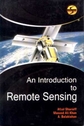
An Introduction to Remote Sensing
Synopsis
Remote sensing may be taken to mean the observation of, or gathering information about, a target by a device separated from it by some distance. The expression remote sensing was coined by geographers at the US Office of Naval Research in the 1960s at about the time that the use of spy satellites was beginning to move out of the military sphere and into the civilian sphere. Remote sensing is often regarded as being synonymous with the use of artificial satellites and in this regard one may call to mind glossy calendars and coffee-table books of LANDSAT images of various parts of the Earth of the satellite images that are frequently shown on television weather forecasts. Satellites do play an important role in remote sensing but it should be appreciated that remote sensing activity not only precedes the expression but dates from long before the launch of the first artificial satellite. There are a number of ways of gathering remotely sensed data which do not involve satellites and which, indeed, have been in use for very much longer than satellites. For example, virtually all of astronomy can be regarded as being built upon the basis of remote sensing data. However this book is concerned with terrestrial remote sensing.
Read more
28.80
25.92
$
32.00 $
Free delivery Wolrdwidе in 10-18 days
Ships in 1-2 days from New Delhi
Membership for 1 Year $35.00
Get it now and save 10%
Get it now and save 10%
BECOME A MEMBER
Books by the same authors
-
A Geography of Western Africa
-
The Geography of America
-
A Source Book of Commercial Geography
-
The Geography of South Africa
-

Encyclopaedia of Sufism (In 12 Volumes)
-

Sufism: Tenets, Orders and Saints
-

Early Sufi Masters: Sharafuddin Maneri & Abdullah Ansari
-

Sufism and Naqshbandi Order
-
Geography and Science
-
Asian Irrigation Systems and Agriculture


Bibliographic information
Masood Ali Khan
A Balakishan