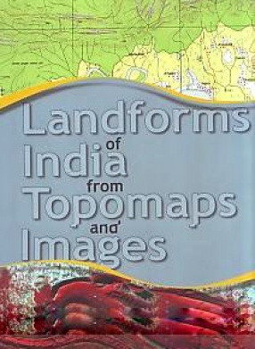
Landforms of India from Topomaps and Images
The volume that you hold in your hands is a rich visual celebration of India’s landforms covering the entire geological time scale ranging from the Hadean (~4600 ma) to the Recent (Holocene), using different mediums including earth-based terrestrial photography, remote sensing satellite images and time-honoured traditional topographic maps. The union of different ways of viewing the earth’s features presented in this volume creates a rare, more holistic view of India’s geologic and human landscape that has not yet been available before. An easily accessible text, with the aid of annotated maps, images and diagrams, assist in explaining key concepts in geological terminology to the reader”.
“The volume has highly benefited in the incorporation of data obtained from the Geological Survey of India, Indian Space Research Organization and Survey of India. Never before has such a collection from different sources on this scale of India’s diverse landforms been assembled and presented in such a user – friendly manner. The aim of this publication is to stimulate interest in landforms in general, and those of India in particular and it is designed to be a learning tool for students, teachers and the curious among the public”.
Contents: Foreword. Preface. 1. Introduction. 2. Conventional symbols. 3. How to use the maps and images. 4. Topomap and terrestrial photo. 5. Topomap and satellite image. 6. Digital elevation model. 7. Geological and physiographic maps of India. 8. Location of topographic maps chosen. 9. Hachured map and terrestrial photo. 10. Topomaps, sketches, photos/Aerial photos, locations, images, physiographic features and notable features. 11. List of physiographic features. 12. Geological time scale. 13. Procurement of topomaps and images. Glossary.
Get it now and save 10%
BECOME A MEMBER



Bibliographic information
K.V. Subbarao