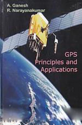
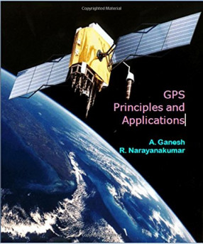
GPS: Principles and Applications
The advent of the Global Positioning System (GPS) has irreversibly transformed the landscape of the world. Developed by the U.S. Military, GPS is a constellation of satellites that transmit their signals to receivers all over the world. GPS enables geodetic positioning to be accomplished without having to physically see or measure distances between survey points. Using GPS, a survey that once took days or weeks to complete can now be done in a few hours at a much lower cost. GPS has not only revolutionized the traditional civilian navigation, surveying, and mapping professions, but has spawned numerous new applications in various sectors. Keeping the importance of GPS technology, an attempt has been made to study the principles of Global Positioning System.
The intellectual content of this book gestated over the years as we often tried to explain GPS as a science to geoscientists, and describe it as a process to the GIS students. In both the cases, we were forced to examine and strengthen our arguments. This book is directed at both these realms on geosciences, which we continue to straddle.
Contents: Preface. 1. Introduction to GPS technology. 2. History of development of GPS. 3. Global positioning system - an overview. 4. Basic principles of GPS. 5. Surveying with GPS. 6. Integration for GPS and GIS. 7. GPS applications. 8. Competitors of GPS. Appendix. Acronyms. Glossary. References. Index.
Get it now and save 10%
BECOME A MEMBER




Bibliographic information
R. Narayankumar